
Walk About, Vineyard-Style: 110 Trails, 200 miles, and a New App
July 10, 2018
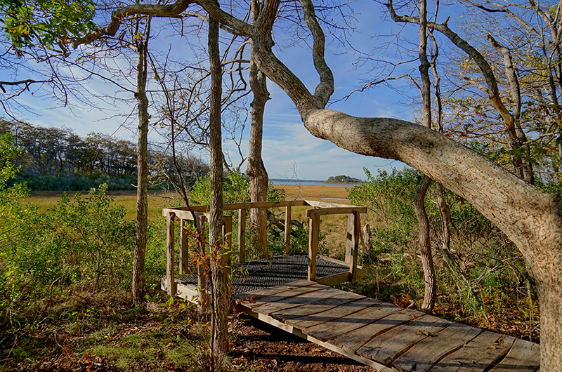
One of the least expensive and most rewarding activities you can pursue on the Vineyard is trail-walking. From sand plains to pine forests, salt ponds to glacial rock, the Vineyard has a diverse topography criss-crossed with more than 100 easy-to-manage walking trails over 200 miles. And now there’s a new free app to download and take with you wherever you’re game to explore.
The TRAILSMV app, released this June and available from the App store, was created by Sherriff’s Meadow Foundation in concert with other Island conservation groups so that walkers can pinpoint exactly where they are at any time (it works with GPS) and what direction they are moving in.
“It helps people explore the Island with confidence and might bring them to places they may not have gone to otherwise,” said Adam Moore, executive director of Sheriff’s Meadow. “The app also makes it easier to do longer hikes because you know where you are and can move from one property to the next,” he continued in a June interview with the Vineyard Gazette.
While the app, which features 22 gorgeous photos by Island photographers as well as a roster of interactive features, is only available for iPhone users right now, an android version will be available later in the summer.
If you’re new to the Island and want to start hiking, here’s a short list of some of the most picturesque trails and properties to checkout : Cedar Tree Neck Sanctuary, Menemsha Hills Reservation, Long Point Wildlife Preserve, Waskosim’s Rock Reservation, Felix Neck Wildlife Sanctuary, and MyToi Gardens on Chappaquiddick.
Leave a Reply
You must be logged in to post a comment.